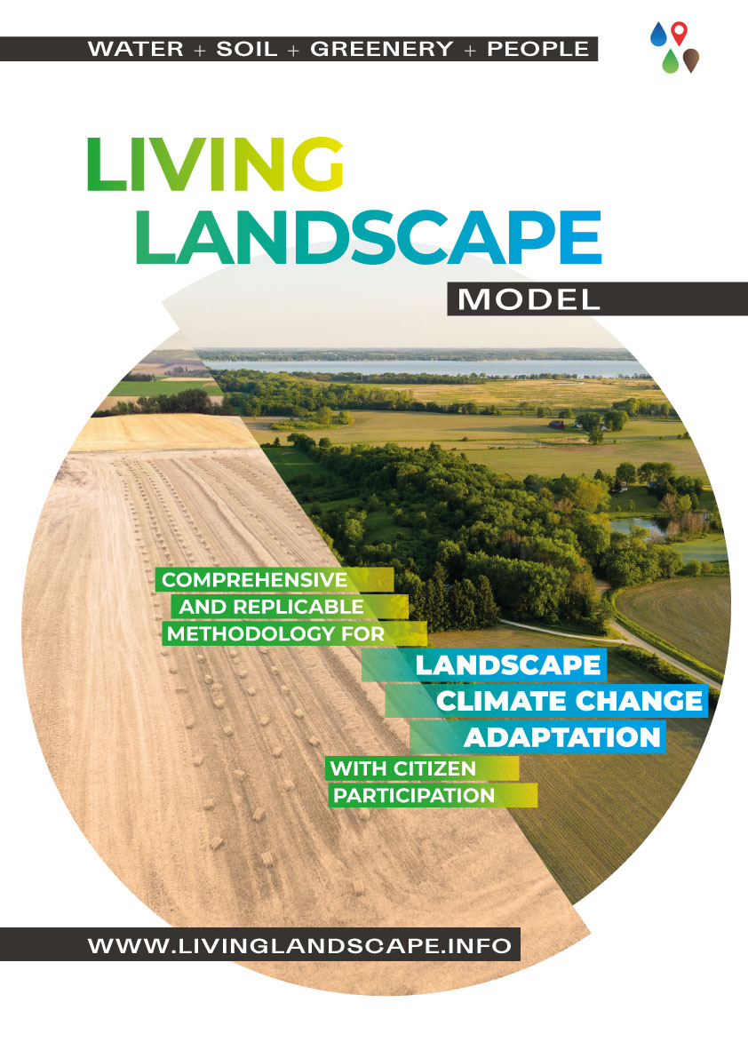
The Living Landscape model
Basic project data
The Living Landscape model uniquely uses the latest scientific knowledge on climate change and its impacts on the landscape. Then, by actively involving trained citizens, it designs feasibility studies that systematically and comprehensively address problems such as drought, loss of fertile soil, and water and wind erosion through a synergy of hundreds of small, nature-based measures. Our goal is to process the entire territory of the Czech Republic and propose a Landscape Adaptation Plan for the Czech Republic to climate change and develop the method within the EU.
The feasibility study of the Living Landscape Model is an important basis for the state, regions, and municipalities to present the potential of a specific area to remediate and adapt to climate change as effectively as possible. The feasibility study is used to negotiate with local governments, state governments, landowners, farmers and foresters, and all other interested parties. It serves to find a satisfactory solution for all those who make decisions about the landscape or care for it (a win-win strategy).
Project description
The Living Landscapes model is a unique comprehensive system solution for landscapes in whole catchments. It fragments large tracts of arable land into smaller parts, which promotes the restoration of the hydrological regime of the landscape and slows down water runoff both during periods of drought and e.g. flash floods. The application of our know-how reduces water and wind erosion of the soil, and the integration of greenery into the landscape also allows for the greater interception of horizontal precipitation (dew, mist) and cooling of the surroundings. It also uses some of the water captured in drainage systems and returns it to the landscape instead of draining the fields.
The model proposes a new landscape contouring based on the Czech University of Agriculture Prague methodology. It proposes the creation of a series of nature-friendly measures in the landscape, such as pools, small water reservoirs, polders, swales, terrain waves, woods, grassy strips around streams, windbreaks, terrain waves, a series of eccentric mini-ponders, etc., recommends revitalization of streams, works with floodplains and controlled spillways to protect human settlements against floods.
Innovative elements of the project
The Living Landscape Model is a comprehensive, versatile, digital tool that addresses rapid adaptation to climate change through the landscape by replicating ready-made models of specific land types.
It first conducts a thorough and accurate mapping of the existing state of the territory directly on the ground, through which it proposes the most appropriate solutions in specific locations. It proposes a basic, minimally necessary skeleton of landscape remediation limits, at the feasibility study level, so that the basis of the landscape can be designed, but also further discussed and changed according to the requirements of owners, municipalities, and government.
It addresses the entire area, ideally the catchment areas from the source area of a minimum of 10 km2. It also ensures public education and participation of the trained public, who subsequently become local coordinators of the Living Landscape project.